
“In the last four decades, Peru has experienced drastic changes in its territory that impact the natural ecosystems and livelihoods of the urban and rural population,” warns Renzo Piana, director of the Common Good Institute, an entity that leads MapBiomas Perú, a initiative to monitor changes in land use and water surface that this February 15 will release updated data through 2022, including new classes detected, such as oil palm cultivation, salt mines and aquaculture.
As a dramatic example of the transformations that occurred in natural coverage in Peru between 1985 and 2022, Piana cites the loss of 94.8 thousand hectares of glacier surface, equivalent to 48% of its extension in 1985, due to the effect of climate change. “This reduction in glaciers mainly affects the supply of water resources in high Andean communities,” warns Piana.
MapBiomas Peru's mapping of land use change over the last 38 years also reveals the loss of 4.1 million hectares of natural vegetation (4% of its initial extension), including ecosystems of forests, shrublands, grasslands, and grasslands. and mangroves. These changes in natural cover are associated with the expansion of human activities, such as agriculture, mining, aquaculture and infrastructure, which by 2022 have increased by 4.2 million hectares.
“MapBiomas Perú allows us to calculate the rate of forest loss in Peruvian territory. The information obtained can help regional governments understand the changes that have occurred in their territories; for example, regarding the coverage and use of land and the surface of bodies of water,” says Piana. He adds that this IBC initiative in collaboration with the MapBiomas and RAISG networks also contributes to territorial planning, forest conservation and disaster prevention.
Other findings from MapBiomas Peru reveal that the Peruvian Amazon has seen a loss of 2.64 million hectares of natural vegetation in the last 38 years, equivalent to 4%. As for the equatorial dry forest, a vital biome for the population of the northern coast of the country, it registered a loss of 5% of its extension for the same period.
The monitoring also warns about the transformations that have occurred in coastal areas, pointing out the loss of 617 hectares of mangroves between 1985 and 2022. Additionally, an increase of 5 thousand hectares in the area dedicated to aquaculture that occurred in the analyzed period was detected. .
As part of the benefits to society, mangroves provide food and resources, help filter water to improve its quality, protect the habitat of coastal biodiversity; but above all they reduce the amount of carbon in the atmosphere and thus confront climate change.
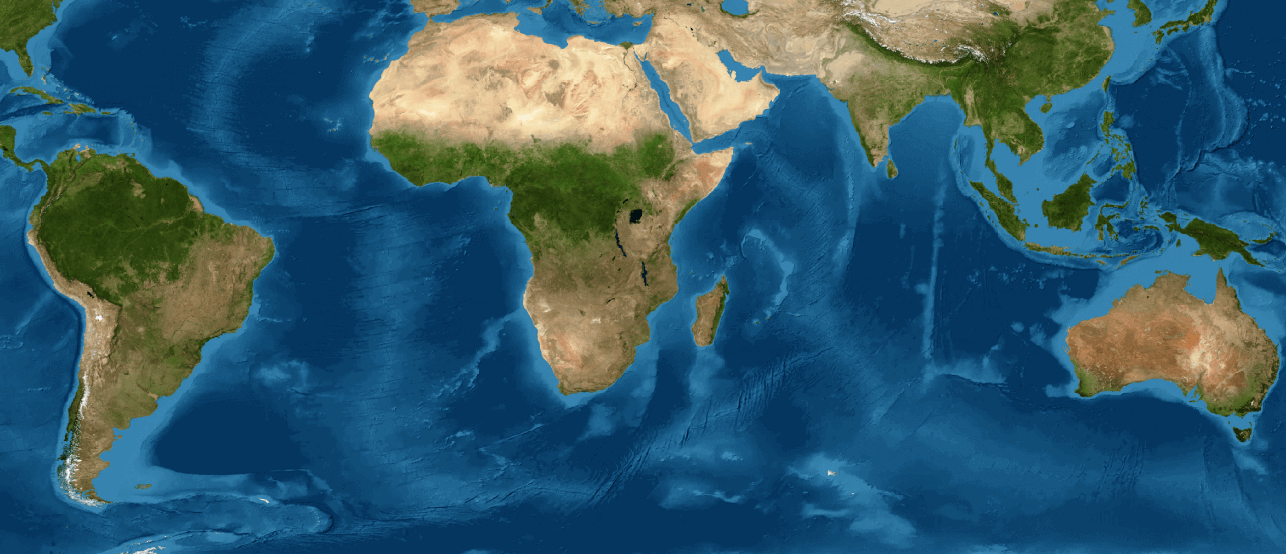
Peru: accelerated changes in a megadiverse country
The expansion of mining activity over the national territory stands out, registering an increase of 4,315% in 38 years (from 3.8 thousand to 169.3 thousand hectares), with a marked acceleration between 2009 and 2022. Madre de Dios is the department with the largest mining area (82.9 thousand hectares, which represents almost half of the country's mining area), followed by Ucayali (59.2 thousand hectares). It is observed that, on the coast and the Andes, 35% of the surface used for mining is located within peasant communities.
“With each annual delivery we seek to provide new and free information to our users. On this occasion we set ourselves the challenge of including new types of use, such as oil palm cultivation, salt mines and aquaculture, and fine-tuning the analysis of others such as forest plantations,” says Andrea Bravo, technical manager of land coverage and use at MapBiomas Peru.
The analysis of this category shows an increase of 115 thousand hectares of oil palm cultivation in the country, with exponential growth since 2007, with Ucayali being the department with the largest extension of this crop (58.8 thousand hectares), followed by San Martín (46.4 thousand ha), Loreto (16.3 thousand ha) and Huánuco (4.7 thousand ha).
In the Andes biome, an increase in forest plantations is observed (124%). These replace natural coverage (grassland) and agricultural areas. Although Ancash has the largest area of forest plantations (24.9 thousand hectares), Huancavelica registers the greatest increase (9.5 times) in the period studied, with an area of 4.5 thousand hectares.
Reduction of glaciers and bodies of water
“The analysis of MapBiomas Peru reveals evident impacts of climate change, such as the loss of 94.5 thousand hectares of glacial surface, which represents 48%, with possible impact on the water supply in various biomes of the country and, in the Andes , overflowing of lakes and lagoons due to melting glaciers, with damage to homes, infrastructure and crops,” observes Nicole Moreno, technical manager of water and wetlands at MapBiomas Perú.
Moreno adds that MapBiomas Agua registers 1.65 million hectares of water for Peru, data that reveals a 12% decrease in the water surface compared to the historical average for the period 2000 – 2022. “This decrease is particularly alarming, since the Biomes with a smaller area of water surface, such as the Equatorial Dry Forest and the Coastal Desert, are the most affected by intense natural phenomena and/or anthropogenic activities,” he points out.
MapBiomas Water contains detailed mappings of the water surface in a historical series of more than twenty years, which allows us to understand the change in bodies of water, identifying seasonal patterns. Moreno highlights the value of this information for water management and the protection of aquatic ecosystems.
ABOUT THE MAPBIOMAS PERU PLATFORM
The MapBiomas Peru platform (http://peru.mapbiomas.org) allows anyone with Internet access to understand changes in land use throughout the Peruvian territory and the pressures on its coverage and natural ecosystems. This platform has two thematic modules. The first module refers to coverage and use, where the information generated is compatible for all the country's biomes and allows knowing the status of 16 classes that include areas covered by forests, natural grasslands, mangroves, agriculture and rivers. The information is free and available for download.
In turn, it allows you to explore the collection of annual maps, which cover the period between 1985 and 2022, and identify changes in land cover and use in a location (national, departmental and district) and a specific period (year, five-year period, decades, etc.). The tool also shows statistics in dynamic tables and graphs, with changes in use in the period that the user requires and allows understanding the dynamics of changes inside and outside an Indigenous Territory or Protected Area. The platform also allows exploring data related to pressure vectors on natural coverage such as mining concessions, oil fields, roads and hydroelectric plants.
The second module allows you to analyze the monthly and annual history of the water surface, from the year 2000 to 2022, facilitating the identification of loss and gain areas of water bodies. This module also projects spatial and statistical analyzes with the levels of political boundaries, biomes and watersheds.