
El Perú ya cuenta con una nueva herramienta que permite procesar y validar con rigor científico las alertas de deforestación, consolidando información de distintos sistemas y ofreciendo datos en alta resolución y acceso libre.
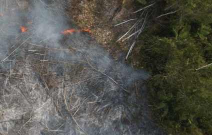
Presenta un análisis de dos décadas de incendios en el territorio peruano (2002–2025). La nota busca dar a conocer los departamentos y provincias con mayor número de focos de calor a nivel nacional.

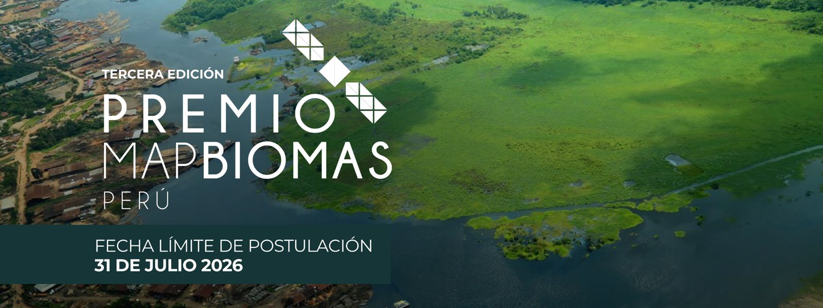
El Premio MapBiomas Perú es una iniciativa que celebra la ciencia y el uso de datos para el manejo sostenible de los recursos naturales.
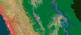
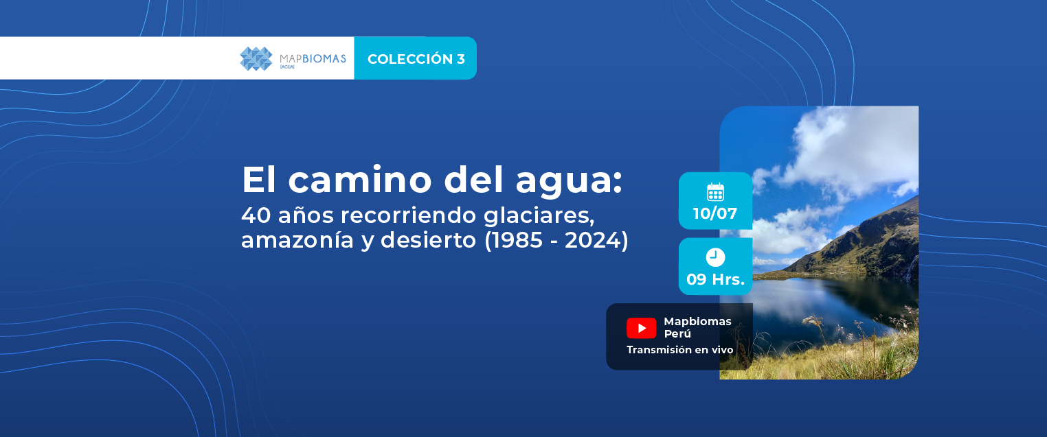
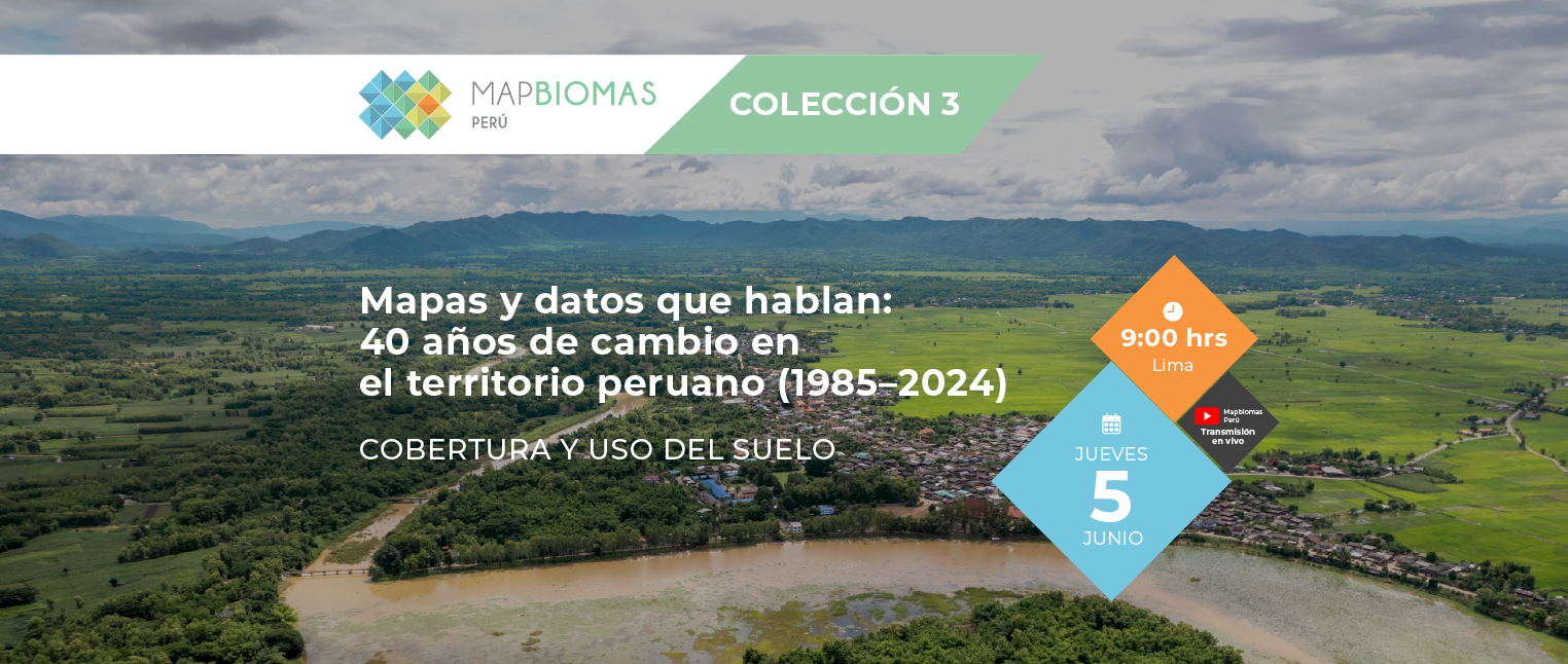
Explore los resultados de clasificación de la Colección 3 de MapBiomas Perú entre los años 1985 y 2024, para todo el territorio nacional y cada uno de sus 4 biomas.
Maps and statistics can be explored by different territorial categories such as biomes, regions, provinces, districts, watersheds, indigenous territories and protected areas.
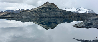
Access the scientific paper that presents the mapping and decline dynamics of tropical Andean glaciers, an important indicator of climate change impact.
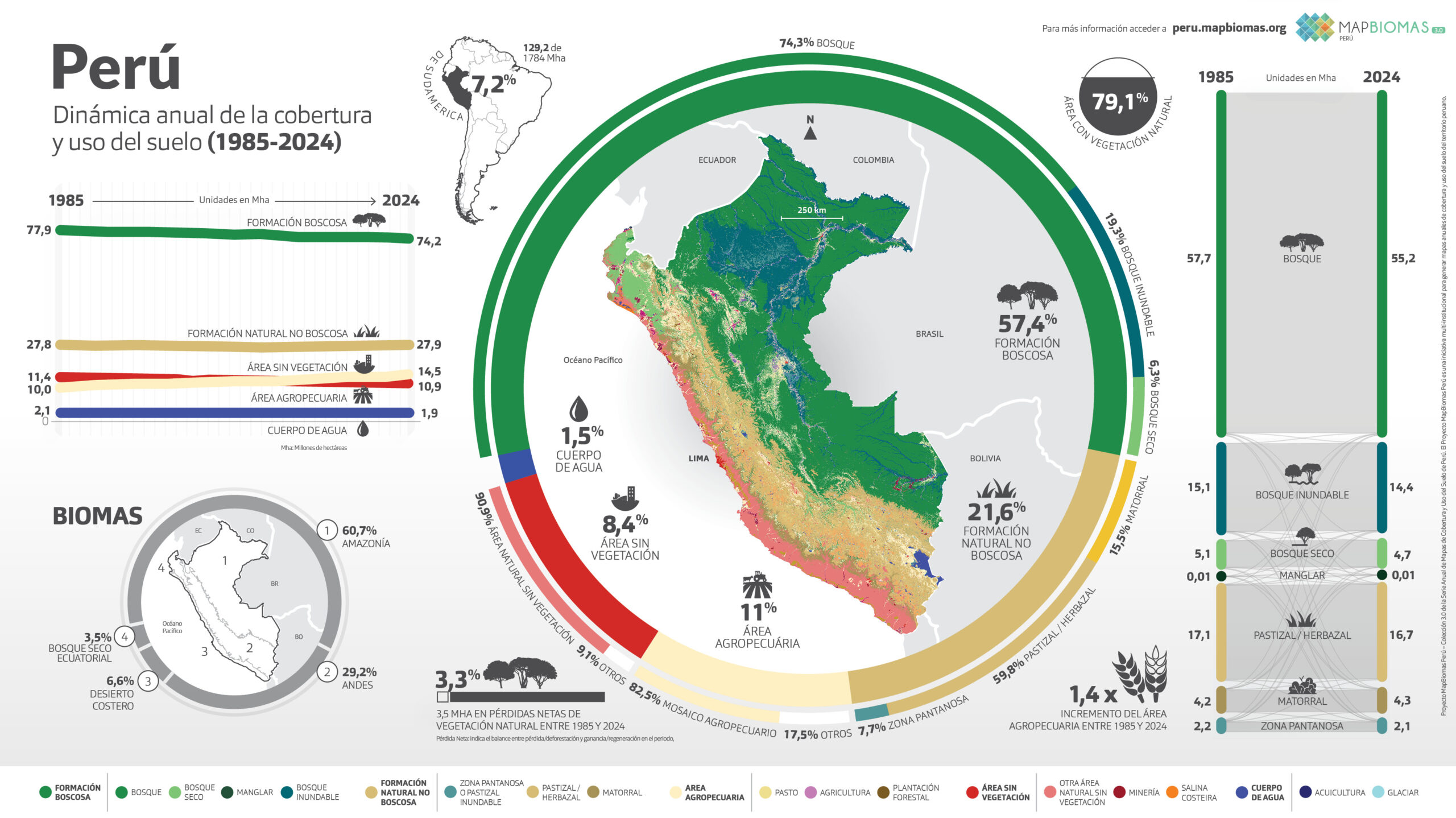
Perú
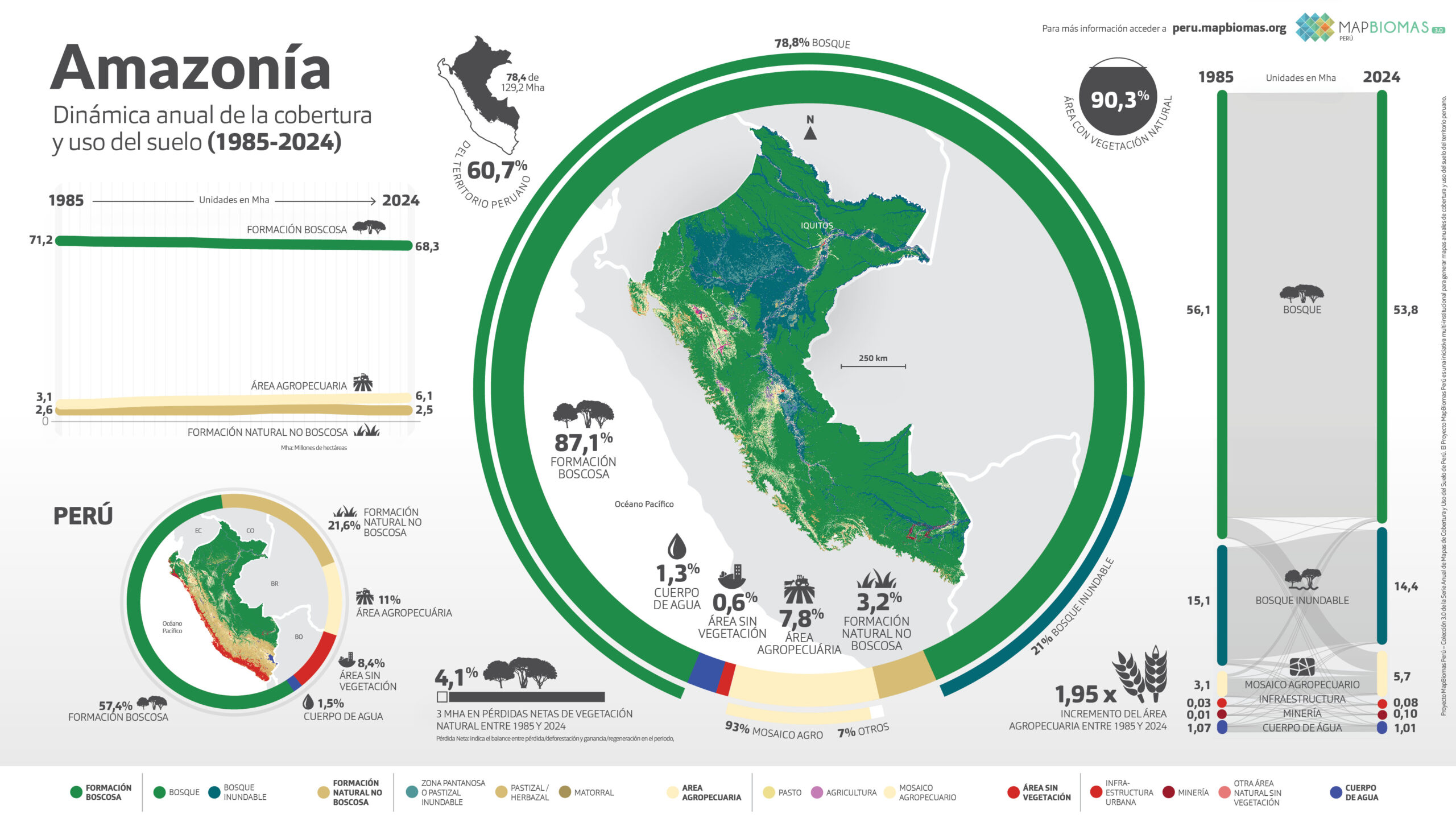
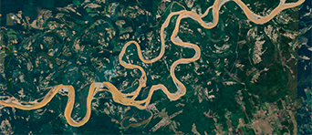
Amazonía
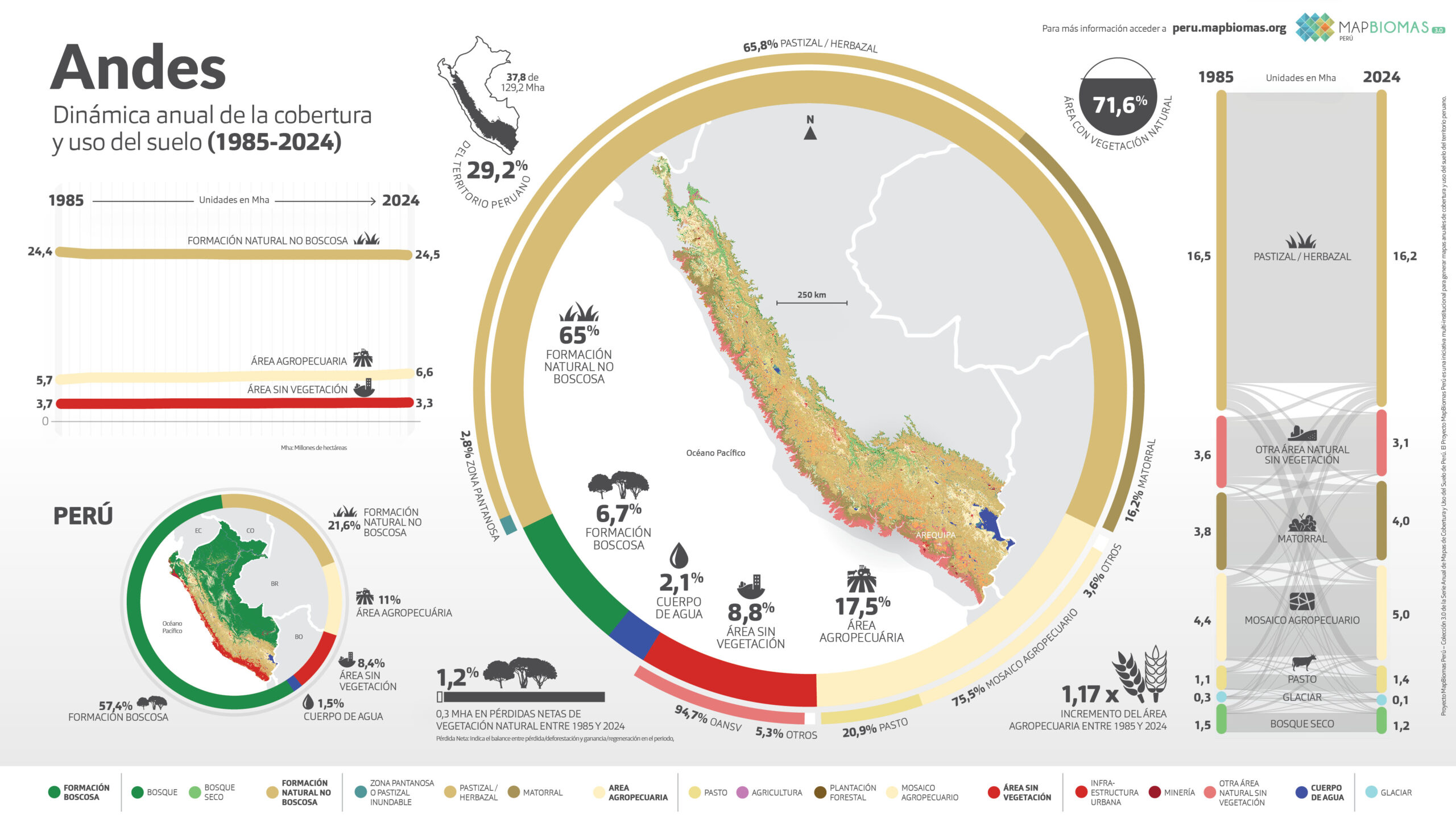
Andes
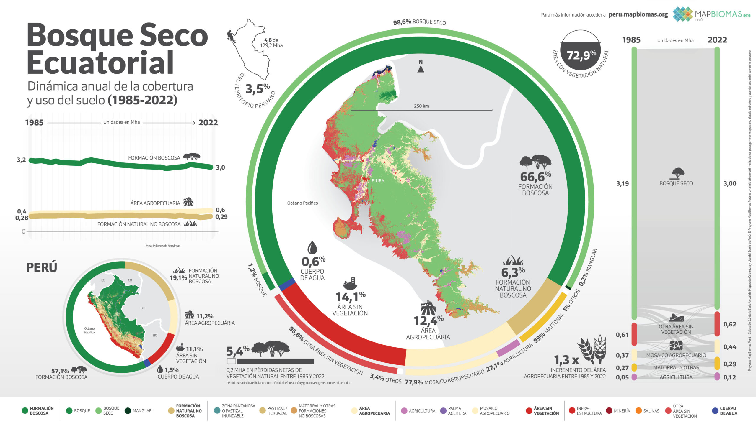
Bosque Seco Ecuatorial
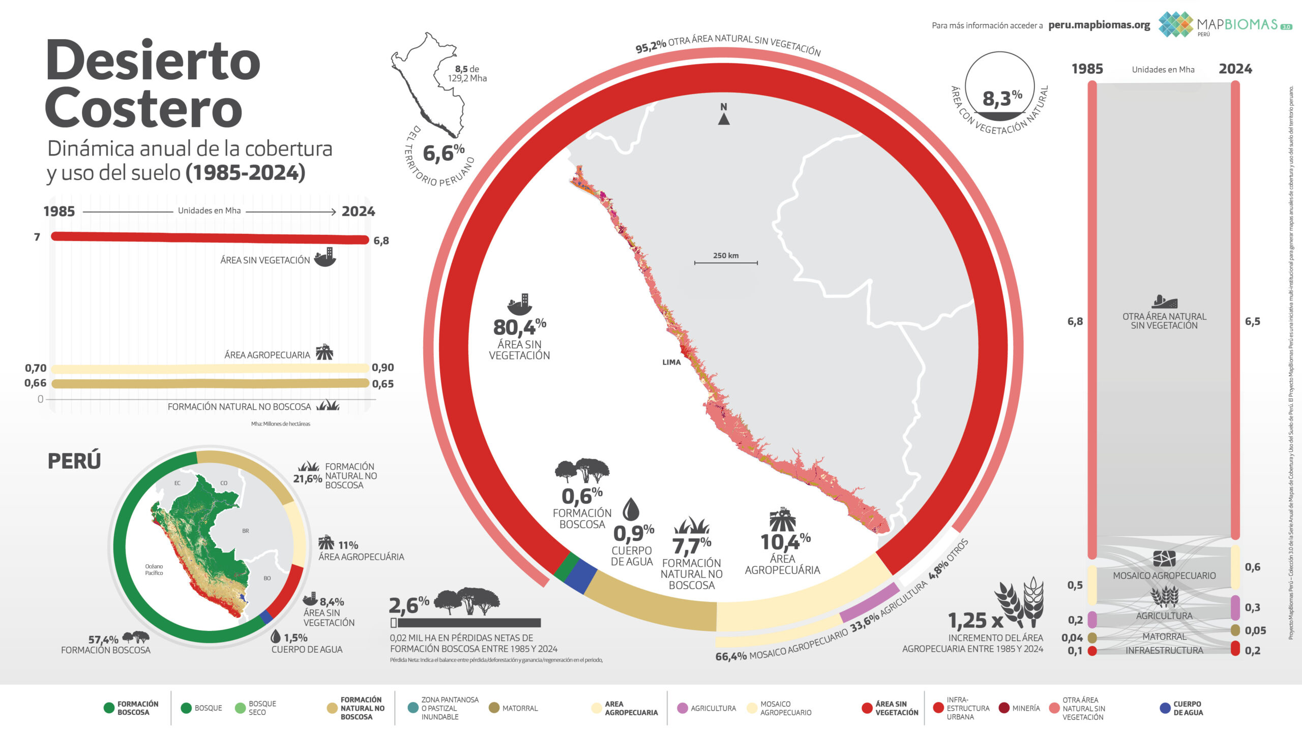
Desierto Costero
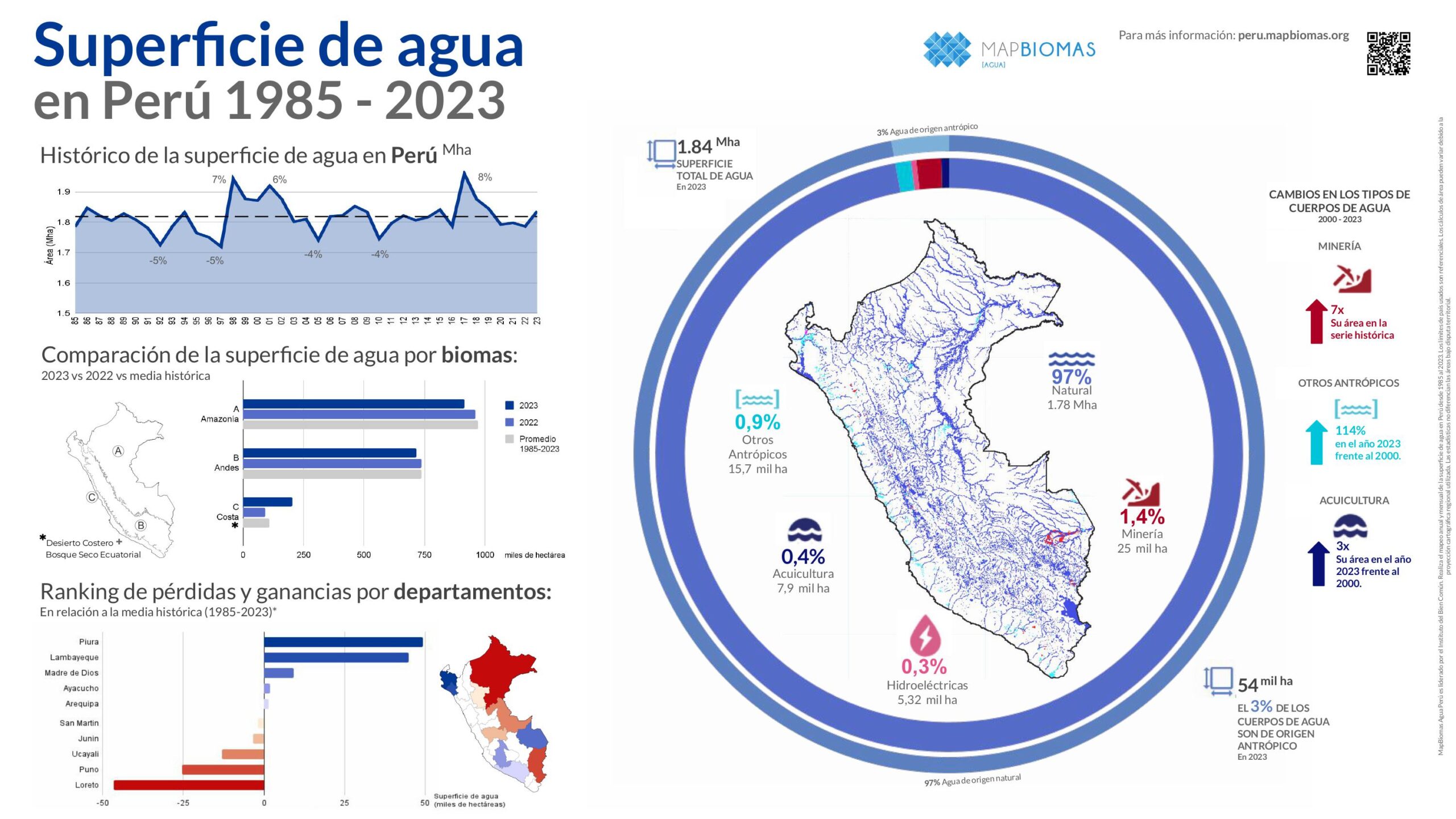
Agua
Conozca la metodología de MapBiomas Perú y cómo se organiza la red para generar los mapas y datos de cobertura y uso del suelo.
Create custom maps
Join our forum
Access our FAQ
Data download